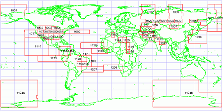
VMap1 data is distributed in VPF format for the part of the globe and freely downloadable via National Geospatial-Intelligence Agency. Geodata is available in ArcGIS shapefile format.

The website provides access to this data in ESRI shape format. Data is distributed by tiles.
Access the VMap1 Shapefiles


No comments:
Post a Comment