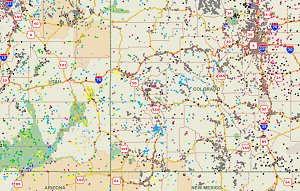
The U.S. Geographic Names Information System (GNIS) was updated October 1, 2012. This point data represents over 2 million name records in the U.S. in the following categories: Airport, Arch, Area, Arroyo, Bar, Bay, Beach, Bench, Bend, Bridge, Building, Canal, Cape, Cemetery, Census, Channel, Church, Civil, Cliff, Crater, Crossing, Dam, Falls, Flat, Forest, Gap, Glacier, Gut, Harbor, Hospital, Island, Isthmus, Lake, Lava, Levee, Locale, Military, Mine, Oilfield, Park, Pillar, Plain, Populated Place, Post Office, Range, Rapids, Reserve, Reservoir, Ridge, School, Sea, Slope, Spring, Stream, Summit, Swamp, Tower, Trail, Tunnel, Valley, Well, Woods,

We've created shapefiles from this updated GNIS data and made it available for download.

Download the new GNIS based shapefiles
Mike


