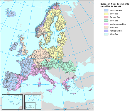
The purpose of the European river catchments (ERC) is to provide a homogeneous European catchments dataset at scale 1:1 million that can be used together with the digital topographic data of EuroGlobalMap. This is the latest published version. Includes zipped arcagis shapefiles, vector polygons.

Read entire article and access the European river catchment geodata


No comments:
Post a Comment