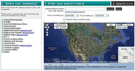
The U.S. Geological Survey is dedicated to providing extensive data to the global science community. However, certain data sets require additional procedures to gain access to them. For example, some commercial satellite scenes of U.S. sites are licensed only for U.S. users. Please log in to find what additional data sets may be available.
Full article and access to EarthExplorer


No comments:
Post a Comment