ESI - Deepwater Horizon Gulf Oil Spill Environmental Sensitivity Index (ESI) Atlases - ESI Viewers are free tools that you can use to view and query Environmental Sensitivity Index (ESI) atlases using the MARPLOT mapping program and a FileMaker application.

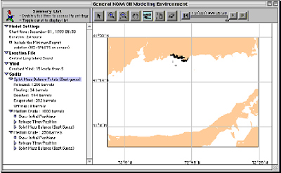
GNOME (General NOAA Operational Modeling Environment) is the oil spill trajectory model used by OR&R Emergency Response Division (ERD) responders during an oil spill.


No comments:
Post a Comment